Ever scrolled around a property near Gillette and wondered if the ground will truly support your plans? In Campbell County’s semi‑arid, high‑plains landscape, soils can make or break grazing capacity, hay production, septic feasibility, and building costs. If you learn to read NRCS soils maps, you can compare parcels with confidence instead of guessing. In this guide, you will see how to use the NRCS Web Soil Survey step by step, what to look for in the data, and how to verify your findings on the ground. Let’s dive in.
Why soils matter in Campbell County
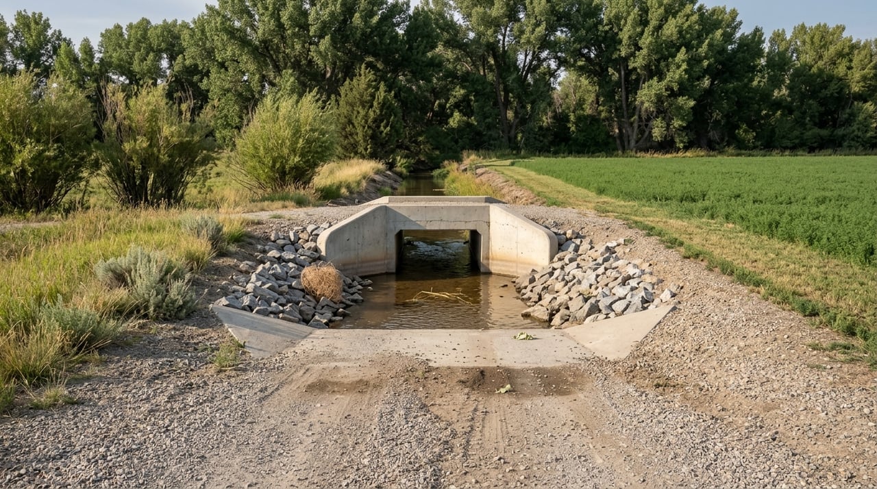
Campbell County sits in a shortgrass steppe environment with limited, variable precipitation and relatively short growing seasons. That means soil moisture storage and rooting depth are major drivers for forage in non‑irrigated pastures. Drainage and permeability also matter for livestock access, septic system siting, and road or pad construction.
You will also find a mix of land uses near Gillette: cattle ranching, small acreages, pockets of irrigated hay, and areas influenced by energy or surface disturbance. Past disturbance can change soil profiles and reclamation status, so desktop maps should always be paired with on‑site checks.
Bottom line: deeper soils with higher water storage on gentle slopes tend to support better forage and easier building. Shallow, saline, or very rocky soils can limit usable acreage and raise costs.
Get set up in the NRCS Web Soil Survey
The NRCS Web Soil Survey is your first screen for soils information. It is public, free, and parcel friendly.
- Go to the NRCS Web Soil Survey.
- Set your Area of Interest using parcel boundaries, mapped corners, or a hand‑drawn polygon.
- Open the Soil Map tab to see the soil map units on your AOI and their acreage shares.
- Click each colored unit on the map to open its Map Unit Description. You will find component soils, typical depth, texture, and known limitations.
- In the Soil Data Explorer, run interpretations that match your goals. Start with Soil Properties and Qualities, Hydrologic Soil Group, Irrigation and Water Management, Engineering, Ecological Site, and Land Classification.
- Export or print the maps and reports for your property file.
Tip: If you are comparing multiple parcels around Gillette, save each AOI report and label them clearly. That way you can line up acreage shares and key attributes side by side.
Read the soil map units like a pro
Each colored patch on the Soil Map is a map unit that often contains more than one component soil. The Map Unit Description will show component percentages and typical profiles. Focus on four quick checks for each major unit on your parcel:
- Available Water Capacity: How much plant‑available water the soil can store between rains or irrigations.
- Depth to Restrictive Layer: Any shallow bedrock, hardpan, or high rock content that limits rooting.
- Drainage and Permeability: Whether the soil tends to be wet in spring or drains rapidly.
- Slope Range: The practicality of haying, fencing, and building.
If a parcel is dominated by deep loamy units with moderate slopes, you have a different operational picture than a parcel with shallow, stony hills and saline low spots.
Key attributes and what they mean in Gillette
Use the Soil Data Explorer to pull these attributes. Then translate them to your plans.
Available water capacity
- What WSS shows: Inches of plant‑available water per foot by layer or for the profile.
- Why it matters: Higher AWC supports stronger forage between rains and can boost hay potential if irrigation is available. Low AWC soils dry out faster and need more frequent irrigation to maintain growth.
Depth to restrictive layer
- What WSS shows: Depth to bedrock, dense pans, or high coarse fragments.
- Why it matters: Shallow rooting limits water storage and forage yield. It can also reduce flexibility for septic siting and increase costs for foundations or utilities.
Drainage class and seasonal water table
- What WSS shows: Well drained, moderately well, poorly drained, plus depth to a seasonal high water table.
- Why it matters: Poorly drained soils can be soft or inaccessible in spring and are often unsuitable for standard septic drainfields. Excessively drained sands may be droughty for plants and need careful nutrient management.
Permeability or Ksat
- What WSS shows: Categories from slow to very rapid saturated hydraulic conductivity.
- Why it matters: Slow permeability can lead to surface ponding and septic limitations. Very rapid permeability reduces surface wetness but can raise groundwater contamination risks if not managed.
Texture and rock fragments
- What WSS shows: Sand, silt, clay classes and percent gravel or stones.
- Why it matters: Sandy soils drain fast and store less water. Clayey soils hold water but may limit infiltration and root growth. High rock content raises clearing costs, complicates fencing, and limits hay equipment.
Salinity and sodium indicators
- What WSS shows: Notes on saline or sodic conditions in map units or properties.
- Why it matters: Salinity reduces plant vigor and establishment. In semi‑arid landscapes, saline spots often occur in low areas and may limit irrigation suitability without special management.
Slope and erosion potential
- What WSS shows: Percent slope ranges and erosion factors.
- Why it matters: Slope reduces workable acreage for haying, increases erosion risk, and raises costs for driveways and pads. Wind erosion on exposed sites is a local concern and calls for cover management.
What these attributes mean for your plans
- Grazing: Deep profiles with higher AWC and gentle slopes support more consistent forage. Thin or very sandy soils tend to stress in dry spells, which lowers carrying capacity.
- Hay ground: Gentle slopes and soils with moderate to fine textures and higher AWC are your best bet. Irrigation, where available and lawful, can amplify yields on suitable soils.
- Buildings and roads: Well drained soils with moderate permeability reduce foundation and access headaches. High shrink‑swell clays, shallow bedrock, or high rock content raise costs.
- Septic: Drainage class, seasonal water table, texture, and permeability drive feasibility. Use WSS as a screen, then complete percolation tests and follow county health requirements.
- Irrigation: WSS will flag soil‑based suitability, but water rights and supply reliability control the decision. Always verify with the State Engineer and local records.
Run the right reports in WSS
In the Soil Data Explorer, these built‑in reports help you compare parcels near Gillette:
- Soil Report: One‑stop view of texture, depth, AWC, permeability, and rock content.
- Irrigation and Water Management: Soil‑based suitability for irrigation application rates and management.
- Land Capability and Productivity: Broad land classes that indicate general suitability for crops or grazing.
- Hydrologic Soil Group: Useful for runoff expectations and drainage planning.
- Engineering Interpretations: Preliminary signals for building pads, roads, and septic systems.
Export the map and a few interpretation tables for each parcel so you can make an apples‑to‑apples comparison.
Verify on the ground before you commit
WSS is an excellent first look but it is not a substitute for fieldwork.
- Walk the property in spring and late summer. Note where water stands or where plants are sparse.
- Dig a few test pits with a shovel or hire a backhoe for representative spots. Look for horizon changes, white salt crusts, mottling that suggests saturation, and any shallow restrictive layers.
- Read vegetation as a proxy. Deep‑rooted perennial grasses often indicate deeper productive soils. Salt tolerant plants or bare patches may signal salinity or thin profiles.
- Check surface rock content for fencing and machinery concerns.
- For septic, schedule percolation tests and follow county health guidance.
- For irrigation, confirm water rights, wells, and supply reliability through the Wyoming State Engineer’s Office.
If soils will drive value or construction costs, consider a geotechnical report for building areas and a lab soil test for pasture or hay plans. For technical advice tailored to Wyoming conditions, explore the University of Wyoming Extension.
Limitations to keep in mind
- Scale: Soil maps can miss small wet spots or rock outcrops.
- Disturbance: Past mining or grading can change soils within a mapped unit.
- Regulatory: WSS does not replace required septic testing or engineered designs.
- Variability: Expect edge conditions where two map units meet. Field checks will clarify.
A simple comparison workflow
Use this quick process when you are torn between two or three parcels around Gillette:
- Run WSS for each parcel and save the Soil Map, Map Unit Descriptions, and key interpretation reports.
- Note the percentage of favorable units. Favor deep loams with higher AWC and gentle slopes for pasture or hay.
- Flag constraints. Look for shallow depth, saline notes, very slow or very rapid permeability, steep slopes, or high rock content.
- Visit in person. Walk the wet spots and dig a few pits. Check surface rockiness, access, and vegetation vigor.
- Order tests. Get a perc test for septic planning and a basic lab panel for salinity and pH if forage matters.
- Confirm water. Verify rights and supply with the State Engineer before assuming irrigation is feasible.
Local resources when you need help
- NRCS: Use the NRCS Web Soil Survey to build your parcel file. The local NRCS field office can clarify map units if you call ahead.
- University of Wyoming Extension: Find practical guidance on soils, range management, and irrigation at the University of Wyoming Extension.
- Water rights and wells: Confirm rights, wells, and records through the Wyoming State Engineer’s Office.
- County planning and health: Contact Campbell County for septic permitting, building codes, and site‑specific requirements.
When you are ready to translate soils data into a clearer purchase decision, a land‑specialist broker can help you pair WSS outputs with real‑world costs and design options.
Ready to evaluate a Gillette parcel?
If you want a second set of eyes on your soils maps, irrigation assumptions, or septic planning, let us help you build a clear, side‑by‑side comparison. We combine practical ranch knowledge with technical mapping and permitting support so your decision is grounded in facts, not guesswork. Schedule a Land Consultation with NorthStar Realty to move from research to action.
FAQs
What is the NRCS Web Soil Survey and why should I use it in Gillette?
- It is a public mapping tool that shows soil types and properties for your parcel. In Campbell County, it helps you estimate forage potential, building and septic feasibility, and areas that may need special management.
How do I find the best pasture soils on a Campbell County parcel?
- Look for map units with higher available water capacity, deeper profiles, and gentle slopes. These soils store more moisture between rains and generally support more consistent forage.
Can the Web Soil Survey tell me if I can install a septic system?
- Use it as an initial screen by checking drainage, seasonal water table, texture, and permeability. You still need site‑specific percolation tests and county health department approval.
Will WSS tell me if irrigation is feasible on my Gillette acreage?
- It will flag soil‑based suitability, but irrigation depends on water rights and supply reliability. Verify rights and records with the Wyoming State Engineer’s Office before you plan improvements.
How does slope affect usability and value in Campbell County?
- Steeper slopes reduce workable acres for haying and raise erosion and construction costs. Gentle slopes are more usable for grazing management, roads, and building pads.
Can management fix poor soils shown on the map?
- Fertility and seeding can help, but physical limits like shallow depth, high rock content, or salinity are costly to change. Factor improvement costs against your operational goals before you buy.