Wondering whether a ranch near Gillette can truly support grazing, recreation, and future improvements, or if it only looks good on paper? That is a fair question in Campbell County, where water, soils, access, and topography can change the usefulness of a property fast. If you are evaluating multi-use ranch land near Gillette, a careful review can help you separate scenic acreage from functional acreage. Let’s dive in.
Why Gillette ranch land needs a closer look
The ranch country around Gillette sits within the Northern Rolling High Plains, an area NRCS describes as a mix of sedimentary plains, scoria hills, and river valleys. Land use is mostly rangeland, with a landscape shaped by semi-arid conditions and working agricultural use. That means a property’s value often depends less on raw acreage and more on how the land actually functions.
At the Gillette 4SE NOAA station, 1991 to 2020 normals show annual precipitation of 17.59 inches and annual snowfall of 55.7 inches at 4,640 feet in elevation. In practical terms, that combination puts real pressure on water planning, winter access, and forage reliability. A ranch that works well in a wet year may need a very different management approach during extended dry periods.
Productive acres matter most
One of the biggest mistakes buyers make is treating all acres the same. Near Gillette, small changes in slope, drainage, and soil depth can create major differences in grazing value, road access, and buildable ground. Total acreage is important, but productive acreage is what usually drives day-to-day utility.
NRCS materials for this area show that upland sites are often limited by soil moisture, while lowland sites generally have higher production potential. Many properties include a mix of fans, ridges, hills, terraces, and plains, often with slopes from 0 to 15 percent. That variety can be a strength, but only if you understand how each part of the ranch contributes to your goals.
Start with the Web Soil Survey
For parcel-level evaluation, the USDA NRCS Web Soil Survey is the right starting point. It gives you current soil data, suitability information, and spatial detail that can help you compare one property to another. If you are looking at several ranches near Gillette, this step can quickly show which parcels deserve a deeper look.
A soils review can help you answer practical questions like:
- How much of the property is likely to be usable for grazing
- Where drainage or slope may limit building or road work
- Whether the ranch includes both upland and lowland forage areas
- How much variability exists across the parcel
Grazing capacity is more than a stocking number
If a listing mentions carrying capacity, treat that figure as a starting point, not a final answer. University of Wyoming Extension notes that carrying capacity varies from area to area, and actual forage use depends heavily on water location and grazing timing. In other words, two ranches with similar acre counts may perform very differently.
Water-point spacing matters because livestock tend to overgraze near a single source and underuse areas farther away. That makes pasture layout, cross-fencing, and stock water distribution central to how the ranch functions. If the property is marketed as a multi-use asset, these details become even more important because competing uses can put pressure on the same ground.
Listing details worth checking
When you walk a ranch or review marketing materials, focus on the features that reveal real operating utility. Helpful clues include:
- Usable acres versus rough acres
- Number and location of stock water points
- Cross-fencing and pasture division
- Current and recent grazing history
- Presence of distinct upland and lowland forage classes
If the seller cannot clearly explain how grazing is distributed across the property, that is a sign to look closer. The same is true if the improvements suggest heavier use than the water system or pasture design appears able to support.
Water rights should never be assumed
In Wyoming, water due diligence is one of the most important parts of buying ranch land. According to the Wyoming State Engineer, a water right is required to use water from a creek, river, spring, or well. A water feature on or next to the property does not automatically mean you have the legal right to use it.
The State Engineer also notes that, with limited historic exceptions, a permit must be obtained before construction begins on a project that will appropriate water for beneficial use. For groundwater, previously exempt stock and domestic wells also required a permit before drilling beginning May 24, 1969. For buyers, that means visible water is only part of the story. The paper trail matters just as much.
Match the story to the records
Before relying on a water source in your purchase decision, compare what you are told with the actual documentation. That review should include:
- Deed language
- County clerk records
- State Engineer records
- Permit status
- Adjudication status
- Reservoir or ditch documentation, if applicable
There is another important point here. The Wyoming State Engineer says a permit does not create a right-of-way. So even if a water right exists, you should not assume you can cross neighboring land to maintain a ditch, headgate, or related feature.
Access affects value and usability
A ranch can have beautiful country, solid forage, and useful water, but still present problems if access is unclear. Campbell County’s GIS portal, property search tools, and road maps are strong first steps for reviewing parcel boundaries, access points, and nearby roads. Still, legal access needs to be confirmed through title work, easements, and on-the-ground inspection.
The county maintains a large rural road network that includes about 190 paved miles and 830 gravel miles. That helps with regional connectivity, but it does not answer parcel-specific access questions. If you are planning year-round use, winter travel, or heavy equipment access, the route into the property deserves close attention.
Topography changes how a ranch works
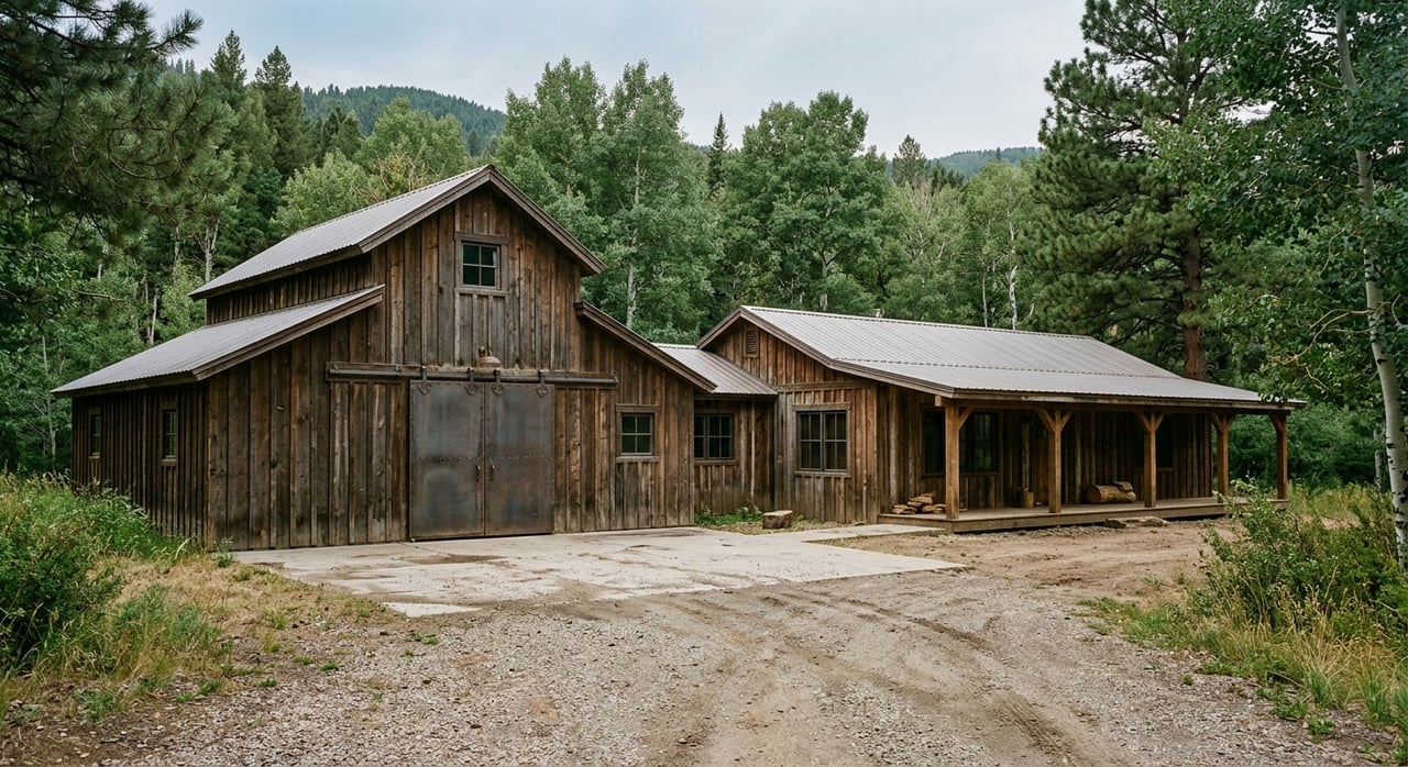
Topography in the Gillette area is not just about views. It directly affects grazing distribution, snow management, fence placement, road construction, and where improvements may practically fit. Low ground, draws, and creek bottoms may also require floodplain review before you make building plans.
Campbell County states that it does not have county-wide zoning, though many subdivisions are zoned. The county also notes that some areas fall within Special Flood Hazard Areas. If a purchase depends on building a home, shop, barn, or other improvement, checking zoning certificate requirements and floodplain overlays early can save time and reduce surprises.
Recreation can add value, but verify access
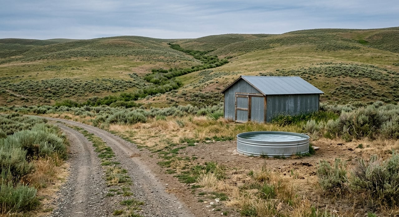
For many buyers, a multi-use ranch near Gillette is not only about livestock. Recreation can be part of the appeal, especially if the property borders public land or is near walk-in access areas. Still, public access should never be assumed.
BLM states that public access restrictions in Wyoming may be seasonal or year-round and can also change for temporary reasons. The Wyoming Game and Fish Department defines a Walk-In Area as private or state land where public hunting or fishing access has been leased. If recreation is part of the value you see in a property, verify the current access rules before you count on that use.
A practical due diligence approach
When you evaluate multi-use ranch land near Gillette, it helps to think in layers. Start broad with maps, soils, and county tools. Then move into water documentation, field inspection, and operational questions about grazing and access.
A simple buyer checklist includes:
- Confirm legal access, road frontage, and easements through county GIS, property search tools, and title records
- Review the parcel in Web Soil Survey and compare slope, drainage, and productivity before estimating carrying capacity
- Verify every water feature against State Engineer records and county documents
- Check pasture divisions, fence condition, and water spacing against your intended use
- Review zoning certificate needs and floodplain overlays before planning improvements
- Confirm current recreation access rules if hunting or other outdoor use matters to you
Why technical review matters on ranch land
Multi-use ranch properties can be some of the most rewarding land purchases in Wyoming, but they also require a more disciplined review than many buyers expect. Near Gillette, a ranch’s true value often comes down to the relationship between soils, water, access, and how the land has been managed over time. When those pieces line up, you get a property that works harder for you and holds its value more confidently.
That is where experienced land guidance can make a real difference. A strong evaluation is not about making a property seem more complicated than it is. It is about making sure you see the whole picture before you commit.
If you are comparing ranch properties near Gillette and want a clear, practical read on soils, water, access, and multi-use potential, NorthStar Realty is here to help you move forward with confidence.
FAQs
What should you check first on multi-use ranch land near Gillette?
- Start with legal access, water documentation, and parcel-level soils data, because those three factors shape how the property can actually be used.
Why is productive acreage more important than total acreage on ranch land near Gillette?
- In the Gillette area, changes in slope, drainage, and soil depth can make large portions of a parcel less useful for grazing, building, or year-round access.
How do water rights affect ranch land purchases in Campbell County?
- A creek, spring, pond site, or well does not automatically give you the right to use water, so you should verify permits, records, and related documentation before relying on any source.
What makes grazing capacity harder to judge on Wyoming ranch land?
- Carrying capacity can change with drought, water-point spacing, pasture layout, and grazing timing, so a listing number alone does not tell the full story.
Do you need to review zoning and floodplain issues for ranch land near Gillette?
- Yes, especially if you plan new structures or major site work, because some subdivisions are zoned and some areas may fall within Special Flood Hazard Areas.